Sentier des Colombes (alternative)
There are regions where the pigeon is king. This bird (Lo colomb, in Occitan) was valued for its meat but also for its droppings, which were used as a powerful fertilizer in the vineyards of Gaillacois and the fields. Its breeding has also left numerous pigeon lofts "colombièrs" in the Tarn landscape. You will see several around the village.
Description
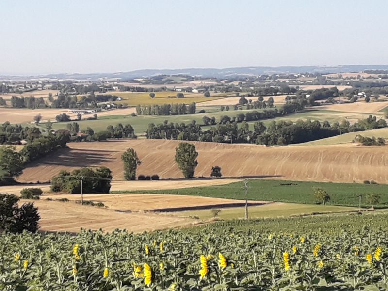
- Facing away from the town hall, pass to the left in front of a beautiful 18th-century brick facade, then go down the small paved road on the right until you reach the D23, which you take to the left for about 50 meters. Then take the path on the left that goes up towards the vineyards (view of the old mill and the village), turn right to descend towards the Saudronne stream.
- Follow the stream to the left until you reach the road, then go up the road to the left. At the top of the hill, take the dirt road on the right towards Robert's farm (viewpoint). Continue on the small paved road and then turn right until you reach the road from Florentin to Aussac (calvary), which you cross to head right towards the Borio Grando farm.
- After the Borio Grando farm, take the small loop path to the left, which is shared with the Fourmageouge trail. Leave the right route of the Sentier des Colombes (large loop). Walk 50 meters, turn right, then left and right to reach La Grèze. Continue to the right between the fields on the path and then through the woods to rejoin the main route below Fourmageouge.
- At the intersection of the main route, turn left. Follow the path along the vineyards and take a right to join the D31, which you follow to the right, passing in front of the small Rouffiac washhouse.
- 200 meters after the bridge over the Lavergne stream, take the dirt path that goes up to the left and reach the hamlet of Jorde. Turn left and cross the hamlet. At the exit, take the path on the left that winds through a wild and shaded valley. Arrive at a small road and follow it to the left until you reach the D32, below the Labastidié castel .
- Go up 300 meters to the left and take the paved road on the right that leads to the château. Before reaching the château (old "parrot" press), turn left through the vineyards. 500 meters further, turn left onto a dirt path that descends and passes between two ponds to reach the D30. Turn right, then left to go up towards the village.
- Departure : In front of Florentin town hall
- Arrival : Same place as the start
- Towns crossed : Florentin, Rouffiac, and Albi
Forecast
Altimetric profile
Recommandations
Information desks
Place de la libération, 81600 Gaillac
Access and parking
16 km southeast of Gaillac via the D988, in Marssac-sur-Tarn, follow the direction to Florentin, or take the A68 highway, exit Florentin.
15 km southwest of Albi via the N88 towards Gaillac. At exit 11 "ZA La Pelbousquié," follow the direction to Florentin.
Parking :
Report a problem or an error
If you have found an error on this page or if you have noticed any problems during your hike, please report them to us here: