Sentiers de clochers
The Sentier des Clochers offers a journey into the heart of rural life.
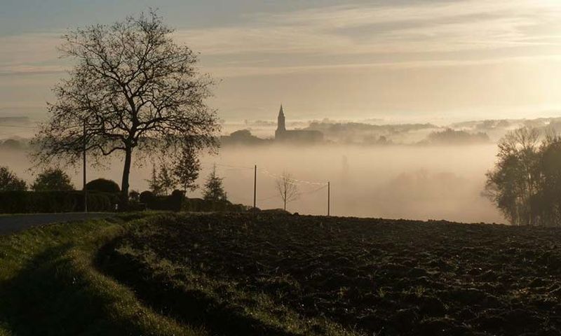
From the village of Cadalen, with its 13th-century Romanesque portal and the ancestral home of poet Francis Jammes, to the village of Técou, a former medieval bastide founded in 1277; these small villages retain their ancient structure, minimally altered by new constructions. The economy of the Gaillac region is tied to viticulture, including independent winemakers and winegrowners those grouped in a cooperative winery. Thus, the Cave de Técou produces an average of 50,000 hectoliters of wine per year and brings together around one hundred producers.
Description
- From the roadside parking lot south of the village of Técou and towards Cadalen, go up the path. Ignore the one on the right. At the end of the vineyards, enter the undergrowth. Continue straight. Cross the D6, and 50 meters further, reach a fork.
- Go right; the path climbs through vineyards for 150 meters then turns left. Option to go to Saint-Jean-du-Vigan on the right (church and 360° viewpoint).
- Follow the path that turns left. Cross the hamlet of Manavit-Haut. At the exit of the locality, turn right. At the road junction, go left and then, 20 meters later, go right onto a grassy path. Continue straight. This grassy path passes near vineyards then through fields and emerges onto a road; take it to the left. Cross Rouquet and reach a road intersection.
- Climb to the left. About 200 meters further, ignore a road on the right, then ignore the first path that goes to the right into the woods. A few meters further, reach a fork.
- Go right into the forest. At the exit (viewpoint), go straight down along the woods and emerge onto a road, taking it to the right. At the intersection, cross the departmental road, climb straight up, then take a grassy path to the left. Ignore a path on the right and continue straight. At an intersection of paths, turn left. Follow a stream for about 50 meters, then cross it via the footbridge. Continue straight to arrive, 250 meters before a stone house, at an intersection.
- Turn onto the right path that runs through cultivated fields. At the road, continue straight towards La Prade, La Gadalié.
- Climb to the left on the grassy path that leads to the village of Técou. Upon reaching the road, go left. Follow the cemetery. At the intersection of the roads, follow the direction "Cadalen" to the left to return to the starting point.
- Departure : Parking at the bottom of Técou
- Arrival : Same location as the starting point
- Towns crossed : Técou and Cadalen
Forecast
Altimetric profile
Recommandations
Information desks
Place de la libération, 81600 Gaillac
rue Saint-Jean, 81300 Graulhet
Transport
By bus: route 704 (Gaillac- Castres) - stop on the D964 at Le Ney, about 2 km from the starting point.
More information on liO-Occitanie
Access and parking
25 km southwest of Albi via Gaillac.
12 km north of Graulhet on the D964 towards Gaillac, turn off to follow the signs to Técou.
10 km south of Gaillac. Head towards Graulhet, leave the D964 at the place called Le Nay and take the D16 towards Técou
Parking :
Accessibility
- Emergency number :
- 114
Report a problem or an error
If you have found an error on this page or if you have noticed any problems during your hike, please report them to us here: