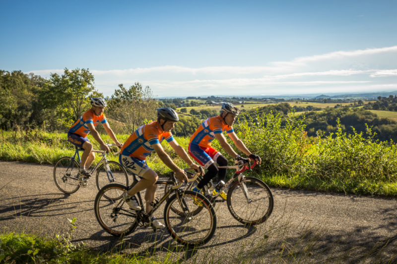
Circuit VTT n°22 Vaour-Milhars
On this trail, you'll be amazed by the panoramas and the picturesque villages. You'll visit Roussayrolles with its 13th-century church, Notre-Dame; Marnaves and its 13th-century Château de La Prune, also known as Château de Roquereine, named in honor of the Sieur de Roquereine, consul of Cordes and lord of La Prune during the Wars of Religion; and Milhars with its feudal castle, restored in 1630 on the remains of a 13th-century castrum, perched on a promontory.
You will also explore the Sensitive Natural Area of the Vallée de Bonnan, featuring its stream and stunning tufa waterfall. Finally, you'll discover the landscapes of the causse and the dolmen of Vaour.
Description
Starting from Vaour, head up towards Col de Liberté via the chemin du Ribatou. Upon reaching the place called "La Fleur de Lys," descend towards the hamlet of Mespoulet and turn towards the Fontaine "Mère de Dieu" before arriving at the village of Roussayrolles.
From there, pass through the Forêt de Grézelles and then descend to the village of Marnaves via the GR de Pays Cordes-Penne. After crossing the village, climb up the road to Lissart and follow the red earth trails beneath the Château de La Prune up to the heights.
Once you reach the hamlet of Mayrin, descend to Milhars via the causse trails. Follow the Cérou River out of the village and climb up the Vallée de Bonnan to Pas de la Clède. Finally, descend towards the Vallée de Laussière and ascend via the forest track to the Dolmen de Vaour before finishing and arriving back at the village.
- Departure : Intersection between the town hall and the church.
- Arrival : Same place as the start
- Towns crossed : Vaour, Roussayrolles, Tonnac, Marnaves, Milhars, Montrosier, Féneyrols, and Saint-Michel-de-Vax
Forecast
Altimetric profile
Recommandations
Information desks
Maison Fonpeyrouse, 34 Grand rue Raimond VII, 81170 Cordes-sur-Ciel
10 route de Cordes, 81170 Milhars
Access and parking
18 km west of Cordes via the D600 to Vindrac, then head towards Tonnac-Vaour on the D91. At the Col de la Liberté, take the direction of Vaour on the D33.
25 km north of Gaillac, leave the city via the D964 towards Le Verdier, then take the D15 to Vaour.
Parking :
Accessibility
- Accessibility level :
- Emergency number :
- 114
Report a problem or an error
If you have found an error on this page or if you have noticed any problems during your hike, please report them to us here: