Dovecote circuit
Lombers
Dovecote circuit
Medium
3h
13,8km
+210m
-210m
Loop
Embed this item to access it offline
The Pigeonniers circuit is located in the town of Lombers. The town has an important shared history with dovecotes. In addition to around fifteen of these historic constructions of all shapes (cylindrical, mule foot, on pillars, etc.), Lombers also benefits from the presence of a museum “Le Chai aux Pigeonniers” and a breeding of purebred pigeons. and meat “Les Pigeons du Mont Royal”.
Description
- Once facing the starting point of the path, turn right for 50 m then, before the town hall, turn left and continue for 70 m to reach the first dovecote (interpretation panel no. 1). Follow the same route back to the square then turn left for 100 m and finally right.
- Turn left between the 2 fields.
- Arrive on the D4, turn right for 120 m then right again for 70 m towards Lieu-dit Goutines before taking the path which goes up on the left (interpretation panel n°2 and n°3 in the rise). Continue until you are back on the D4 then turn right.
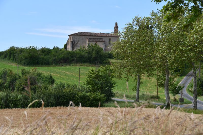
- Continue on the right on the D23 towards Poulan, then make an immediate detour to the left to go around the church of Saint-Sernin before going back down 180m further on the road (interpretation panel no. 4 at a place called Saint Sernin).
- Continue opposite on the D27 to reach Saint-Pierre-de-Conils. At the crossroads, continue on the D27 before taking 100 m further to the right to go around the cemetery, observe the dovecote (interpretation panel no. 5) and pass in front of the church before returning to your not until the intersection. Then turn left (interpretation panel no. 6).
- Leave the D96 to continue the path down to the right towards Medalle (interpretation panel no. 7).
- At the crossroads, leave the 2 roads on the left and continue straight ahead, always towards Medalle (interpretation sign no. 8). Cross the hamlet.
- Au niveau de la maison, tourner à droite en direction de Rieugrand. Traverser le hameau d’Ambrozy et son moulin et avancer jusqu’au bout de la route.
- Before the departmental road, take the greenway (former railway line linking Albi to Castres) on the right
- Leave the greenway to head towards the place called “Les Plégats” (interpretation panel no. 9).
- Once you have crossed the place called “Les Plégats”, turn right on the road and continue for 1km to return to the town of Lombers.
- Turn right to return to the starting point.
- Departure : Lombers village square
- Arrival : Same place as departure
- Towns crossed : Lombers
Forecast
Altimetric profile
Information desks
8 place de la République, 81120 Réalmont
Transport
Lombers is served by bus line 705 Albi-Graulhet-Lavaur (A/R)
Bus timetable line 705
Access and parking
17km from Albi (D612, D71, D41)
28km from Castres (D83, D41)
5km from Réalmont (D4)
Parking :
Town Hall Square
Accessibility
- Emergency number :
- 114
Report a problem or an error
If you have found an error on this page or if you have noticed any problems during your hike, please report them to us here: