MTB route no.26 Milhars Noir
Similar to Trail No. 25, but this time you will extend the route by descending via the GR de Pays to the village of Marnaves with its red stones. You will discover the St. Médard Church in the heart of the village.
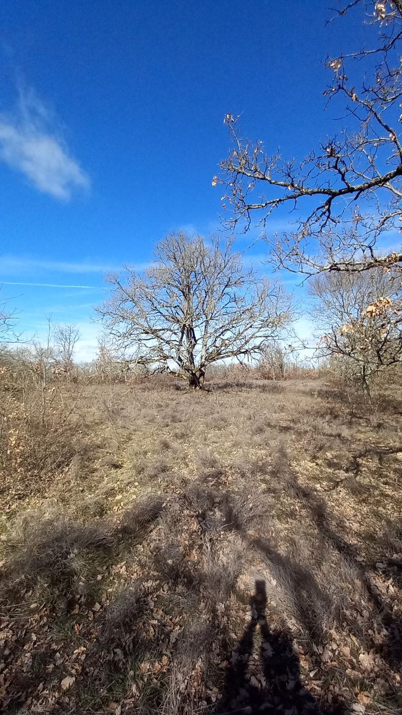
During a fairly steep climb, you’ll enjoy the red soil of the valley and the tranquility of its gnarled oak woods. Midway up, you’ll find a washhouse next to the water catchment. Once back on the plateau, you will continue towards Milhars (see Trail No. 25).
Description
Arriving from Roussayrolles through the Grézelles forest to Pech de Marnaves, follow the path of St. Jean and continue right to descend via the GR de Pays Cordes-Penne. Cross the village to the right and descend towards the Départementale Road, then turn onto the small path leading to the parking area with a water point and picnic tables.
Return via the Lissart road and ascend the trails to the water pumping station before making switchbacks that lead you to the communal road.
Once you’ve crossed the road, continue back to St. Jean via the paths and then proceed towards Milhars (see description of Trail No. 25).
- Departure : The Coustou parking area in Roussayrolles
- Arrival : Same place as the start
- Towns crossed : Roussayrolles, Marnaves, Milhars, Montrosier, Féneyrols, and Saint-Michel-de-Vax
Forecast
Altimetric profile
Recommandations
Information desks
Maison Fonpeyrouse, 34 Grand rue Raimond VII, 81170 Cordes-sur-Ciel
10 route de Cordes, 81170 Milhars
Access and parking
15 km west of Cordes via the D600 to Vindrac, then head towards Tonnac-Vaour on the D91. After passing Tonnac, turn left towards Roussayrolles via a small road.
30 km north of Gaillac via Vaour or Tonnac.
Parking :
Accessibility
- Accessibility level :
- Emergency number :
- 114
Report a problem or an error
If you have found an error on this page or if you have noticed any problems during your hike, please report them to us here: