MTB route no.19 Grand Penne
This route offers stunning views of the Aveyron Valley and the villages of Penne and Bruniquel, as well as a climb to the heights of Vaour and St. Michel de Vax. With beautiful elevation changes, it promises a challenging and sporty experience.
Description
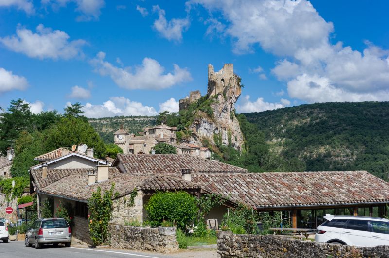
Starting from Penne, you descend towards the Aveyron River and then climb up to the Causse via a challenging uphill road. You cross the Causse and descend towards Bruniquel, enjoying a beautiful view of the castle overlooking the Aveyron Valley. You then gradually climb back up towards the hamlet of St. Paul de Mamiac and the Forêt de Grésigne, continuing to Vaour and its Templar Commandery. After crossing the village, you climb towards the heights via the Route de Liberté to the place called "La Fleur de Lys" before descending by the trails to the village of St. Michel de Vax. Finally, you follow the path across the plateau and cross the small valley of the stream "Le Bombic" before climbing up to the hamlet of Roussergues and its small 12th-century church, Notre Dame. A final climb to the village awaits to finish.
- Departure : Village Hall of Penne
- Arrival : Same place as the start
- Towns crossed : Penne, Bruniquel, Castelnau-de-Montmiral, Vaour, Roussayrolles, Saint-Michel-de-Vax, and Saint-Antonin-Noble-Val
Forecast
Altimetric profile
Recommandations
Information desks
Maison Fonpeyrouse, 34 Grand rue Raimond VII, 81170 Cordes-sur-Ciel
Place de la libération, 81600 Gaillac
Access and parking
30 km west of Cordes-sur-Ciel via the D600, then D8 towards Vaour and the D33 towards Penne.
35 km north of Gaillac via the D964 towards Castelnau de Montmiral, then the D87 towards Penne.
Parking :
Accessibility
- Emergency number :
- 114
Report a problem or an error
If you have found an error on this page or if you have noticed any problems during your hike, please report them to us here: