Valley Path
Terre-de-Bancalié
Valley Path
Easy
2h
7,5km
+199m
-199m
Loop
Embed this item to access it offline
The territory of Center Tarn is located at the meeting between the Aquitain Basin and the Massif Central. It thus benefits from a relatively heterogeneous landscape entity.
The Chemin des Vallées is located in the commune of Terre de Bancalié (Le Travet). You will quickly leave the village to descend to the depths of the Dadou valley. A magical and magical hike created by a forest of lichen, revealing only a few rays of sun, all lulled by the flow of the Dadou. A journey full of serenity.
The Chemin des Vallées is located in the commune of Terre de Bancalié (Le Travet). You will quickly leave the village to descend to the depths of the Dadou valley. A magical and magical hike created by a forest of lichen, revealing only a few rays of sun, all lulled by the flow of the Dadou. A journey full of serenity.
Description
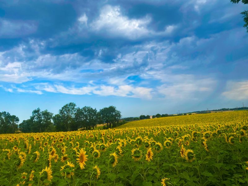
- Departure from the picnic area, follow the yellow marks, go approximately 30m before turning left. Go another 50m and turn right. Finally follow the signs which take us out of the village via a dirt road. On a clear day, you can admire the Pyrenees mountain range.
- After the pond, continue until the road, then turn right. Go about 10m and turn left onto the path which runs alongside the field. At the end turn right and follow the signs.
- Admire the “Lajasse” viewpoint before turning left and going down a good descent into a wood.
- You enter a boxwood forest covered in lichens.
- You then arrive in a meadow bordering the Dadou covered with flowers in spring. At the end of it, do not cross the stream and turn right.
- You pass near a waterfall lined with boxwood laden with lichens.
- The path runs alongside the stream and brings you back, after a long climb on the plateau.
- You pass near the Costes Auries farm, producer of sheep's milk.
- Take the path on the left which takes you to the road towards Le Travet then take the same route as on the way back to return to the start.
- Departure : Travet picnic area
- Arrival : Same place as departure
- Towns crossed : Terre-de-Bancalié
Forecast
Altimetric profile
Recommandations
Information desks
8 place de la République, 81120 Réalmont
Access and parking
23km from Albi (D81, D86, D41)
18km from Alban (D138, D86, D999)
38km from Castres (D612, D86, D13, D138)
18km from Alban (D138, D86, D999)
38km from Castres (D612, D86, D13, D138)
Parking :
Travet picnic area
Report a problem or an error
If you have found an error on this page or if you have noticed any problems during your hike, please report them to us here: